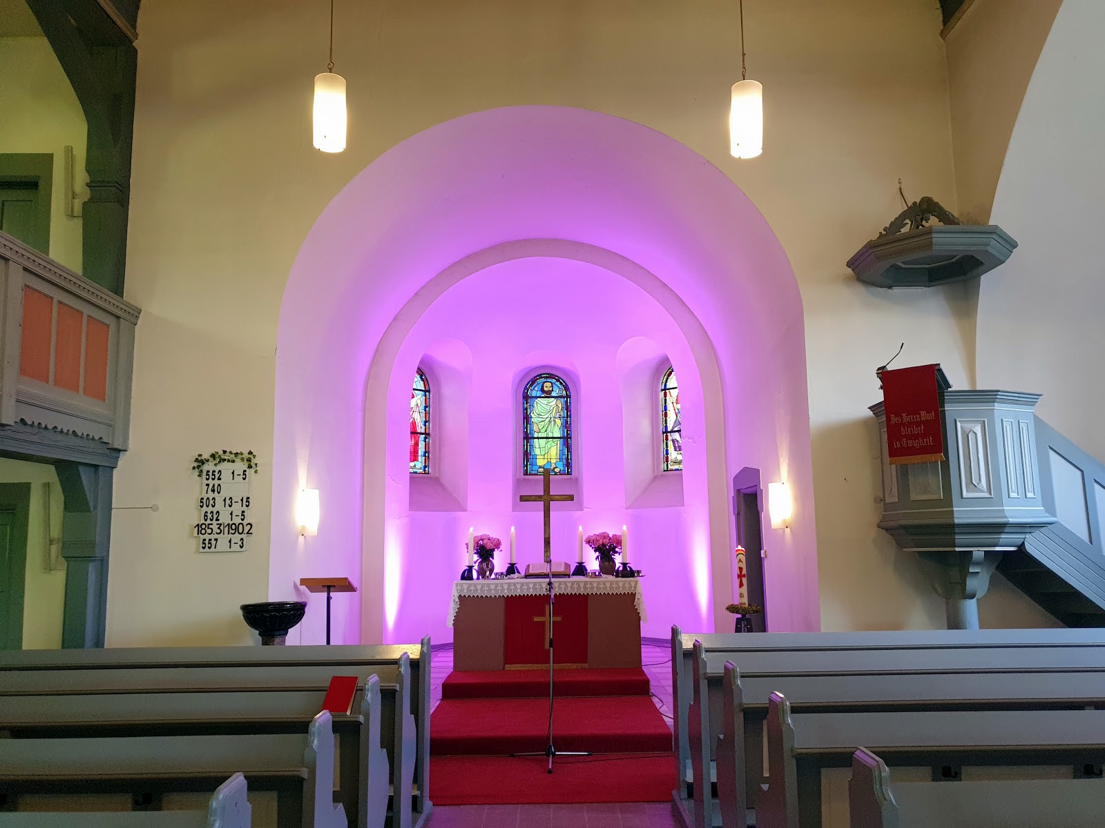
17.05.2025 (Samstag mit einer laaaangen Wanderung) durch Mannheim von der Johanniskirche (Lindenhof) zur Gnadenkirche (Gartenstadt) im Google Album
17.05.2025 (Samstag mit einer laaaangen Wanderung) durch Mannheim von der Johanniskirche (Lindenhof) zur Gnadenkirche (Gartenstadt) im Google Album:
Leider der „undenkbare Fall“, aber meine Uhr hatte am Tierheim Mannheim die GPS Route nicht weiter aufgezeichnet (warum auch immer), die Fotos sind bis zum Wandern (077).jpg an die GPS Tour verknüpft und ab da sind die Fotos da wo das Smartphone die aufgenommen hat (habe das nicht kontrolliert)...
Der Start war mit der Straßenbahn 1 bis zur Haltestelle Krappmühlstraße um 09:47 Uhr (Beginn der Aufzeichnung) und über meinen „geliebten“ Kleinfeldsteg in den Garten der Johanniskirche (von 10:09 bis 12:24 Uhr). Danach über die Helmut-Schmidt-Brücke in die Innenstadt/Quadrate mit der Fressgasse (Commerzbank/Nordsee (ein leckeres Bremer Brötchen 🐟🍔 😋😙 war meins)). Weiter zur Jungbuschpromenade und über die Jungbuschbrücke über den Neckar und an der Neckarwiese zur Kammerschleuse (Neckarstadt-West) und am sehr schönen Wolkenreichen Friesenheimer Insel (mit supertollem Wolkenhimmel auf dem Inseldammwerg (Hochwasserdamm)) bis zum Tierheim Mannheim (ab hier endet leider die automatische Aufzeichnung der tour mit der Smartwatch (Samsung Galaxy Watch5 Pro). Am Tierheim Mannheim (ab hier keine aufgezeichnete Tour mehr) wieder zur Altrheinbrücke und über den Altrhein nach Sandhofen mit dem LSG Kopflache am Friesenheimer Altrhein zum Lilienthal Center. Danach wieder über den Kleiner Feldweg in die Schönau durch und unter der Unterführung der Riedbahnstrecke ein kurzes Stück im Käfertaler Wald zum Abendgottesdienst (🕕18 Uhr) in der Gnadenkirche (von ~17:59 bis ~19:02 Uhr). Danach war es noch hell - also wieder ein kurzes Stück im Käfertaler Wald und an der Schönauer Hütte vorbei in den Stadtteil Schönau, noch kurz zum Lidl und der Packstation 178 zu Hause gegen ~20:07 Uhr anzukommen (#Hämkumme).....
_in diesem Album nur ein Foto zum (kleinen) Vergleich. Die Fotos
Wandern (128a).jpg & Wandern (128b).jpg, auf dem ersten ist der Vogel oben
am Rand im Himmel zu sehen und im zweiten Foto im (kleinen) Vergleich
wegretuschiert.
17/05/2025 (Saturday with a loooong hiki)g tour through Mannheim from the Johanniskirche (Church) (Lindenhof) to the Gnadenkirche (Church) (Gartenstadt) in the Google Album:
Unfortunately the "unthinkable case", but my watch had not recorded the GPS route at the Mannheim animal shelter (for whatever reason), the photos are up to the Wandern (077).jpg linked to the GPS tour and from then on the photos are where the smartphone took them (didn't check)...
The start was with tram 1 to the tram stop Krappmühlstreet at 09:47 a. m. clock (start of the recording) and over my "beloved" Kleinfeldsteg (Foot bridge) into the garden of the Johanniskirche (Church) (from 10:09 a. m. to 12:24 p. m. clock). Then over the Helmut-Schmidt-Bridge into the City centre/Squares with the Fressgasse (Commerzbank/Nordsee (a delicious Bremer roll 🐟🍔 😋😙 was mine)). Continue to the Jungbuschpromenade and over the Jungbuschbridge across the Neckar and at the Neckarwiese (Meadow) to the Kammerschleuse (Lock) (Neckarstadt-West) and at the very beautiful cloudy Friesenheimer Insel (Island) (with super great cloudy sky on the Inseldammway (High water dam)) to the Tierheim (animal shelter) Mannheim (from here unfortunately the automatic recording of the tour with the Smartwatch (Samsung Galaxy Watch5 Pro) ends. At the Tierheim (Animal shelter) Mannheim (no longer a recorded tour from here) back to the Altrheinbridge and over the Altrhein (Old rhine) to Sandhofen with the Landscape conservation area Kopflache on the Friesenheimer Altrhein (Old rhine) to the Lilienthal Center (Shopping Centre). Then back over the small country lane into Schönau and under the subway of the Riedbahnstrecke (Railway line) for a short distance in Käfertaler Wald (Forest) to the church evening service (🕕 6 p. m. clock) in the Gnadenkirche (Church) (from ~05:59 p. m. to ~07:02 p. m. clock). Afterwards it was still light - so another short stretch in the Käfertaler Wald (Forest) and past the Schönauer Hütte (Hut) to the district Schönau, a quick stop at Lidl and the Packing station 178 to arrive home at around ~08:07 p. m. clock (#Comehome).....
_in this album only one photo for (small) comparison. The photos Wandern (128a).jpg & Wandern (128b).jpg, on the first one the bird can be seen at the top edge in the sky and in the second photo in the (small) comparison retouched away.
.jpg)
.png)


.jpg)
.jpg)
Kommentare
Kommentar veröffentlichen