20.08.2022 14:18 Uhr Wandern von der Schönau zum Lindenhof in die Johanniskirche in komoot (16,1 km)
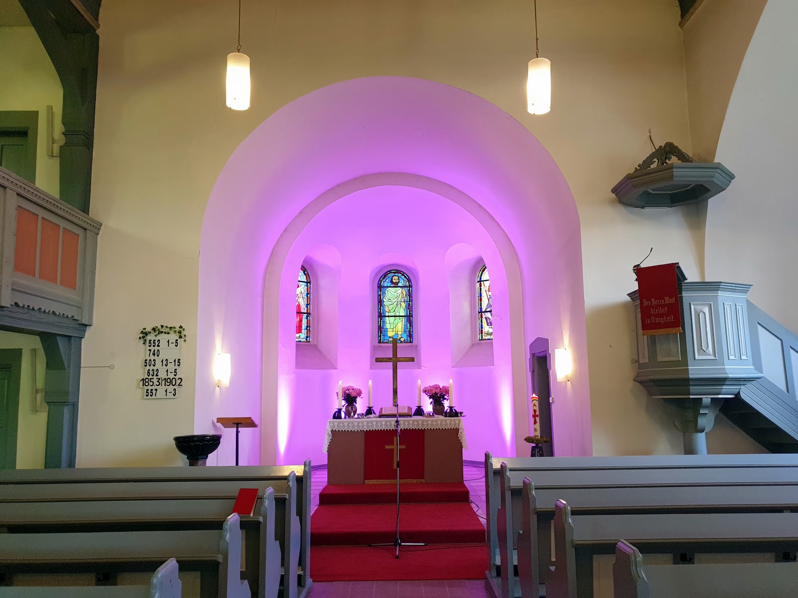
20.08.2022 14:18 Uhr Wandern von der Schönau zum Lindenhof in die Johanniskirche (16,1 km):
Schönau – Gartenstadt (Waldhof) – Käfertal – Neckarstadt-Ost – Friedrich-Ebert-Brücke – Oststadt – Schwetzingerstadt – Neckarauer Übergang – Lindenhof.
Wetter: 28°C | überwiegend sonnig mit schönen Wolken | Leichte Brise aus West (11 km/h) | Luftfeuchtigkeit 37%
Leider ist meine komoot App auf dem Smartphone abgestürzt und die genauere Tour wurde zwar aufgezeichnet, aber leider konnte ich die nicht abspeichern und die war somit "verloren".
Meine Uhr (GTS 2) wäre von ~26 Km Länge ausgegangen, weil die ziemlich gezackt und mit etlichen GPS ausfällen eine sehr ungenaue Aufzeichnung hat. Die Tour in komoot ist eine automatisch begradigte Tour. Die Tour von der Uhr in komoot eingeladen, als geplante Tour abgespeichern und Route an bekannte Wege anpassen.
Dann die Tour mit RouteConverter geladen und die Zeiten angepasst und die Route etwas angeglichen…. war gestern Abend eine Menge Arbeit..... und dann noch die Bilder mit der GPS-Tour verknüpft….
-----------------------------------------
20/08/2022 02:18 p. m. clock Hiking from Schönau to Lindenhof to the Johanniskirche (Church) (16.1 km/10 miles):
Schönau - Gartenstadt (Waldhof) - Käfertal - Neckarstadt-Ost - Friedrich-Ebert-Brücke (Bridge) - Oststadt - Schwetzingerstadt - Neckarauer Übergang (Bridge) - Lindenhof.
Weather: 28°C | mostly sunny with nice clouds | light breeze from West (11 km/h) | Humidity 37%
Unfortunately, my komoot app on the smartphone crashed and the more accurate tour was recorded, but unfortunately I could not save the and that was therefore "lost".
My watch (GTS 2) would have gone from ~26 km length, because the pretty jagged and with quite a few GPS failures has a very inaccurate recording. The tour in komoot is an automatically straightened tour. The tour from the clock in komoot loaded, save as a planned tour and adjust route to known paths.
Then loaded the tour with RouteConverter and adjusted the times and the route somewhat adjusted.... was a lot of work last night..... and then still the pictures with the GPS tour linked....
.jpg)
.jpg)
.jpg)
Kommentare
Kommentar veröffentlichen