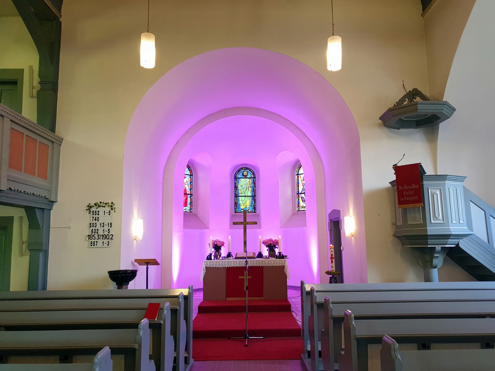
12.05.2021 Kleine Wanderung ohne GPS-Aufzeichnung von der Oststadt in die Schönau im kleinen Google Album
12.05.2021 Kleine Wanderung ohne GPS-Aufzeichnung von der Oststadt in die Schönau im kleinen Google Album:
Mannheim mal ohne aufgezeichnete GPS-Tour erleben...
Mannheim-Oststadt - Unterer Luisenpark - Kurpfalzbrücke - Neckarstadt-West - Diffenébrücke - Friesenheimer Insel - Altrheinbrücke - Sandhofen - Schönau.
Die Zeiten und die Position der Fotos sind im Google Album ersichtlich.
Wetter: um die 14°C | stark bewölkt, aber sehr schön...
12/05/2021 Short hike without GPS recording from the Oststadt to Schönau in the small Google album:
Mannheim without a recorded GPS tour experience...
Mannheim-Oststadt - Unterer Luisenpark - Kurpfalzbrücke (Bridge) - Neckarstadt-West - Diffenébrücke (Bridge) - Friesenheimer Insel (Island) - Altrheinbridge - Sandhofen - Schönau.
The times and the position of the photos can be seen in the Google Album.
Weather: around 14°C | cloudy, but very nice...
Ein kleines Google Album mit 43 Fotos · Album von ©Axel Polsfuss/A small Google Album with 43 photos · Album by ©Axel Polsfuss:
Alle Fotos sind mit dem Smartphone Samsung S9+ (SM-G965F) aufgenommen und bearbeitet worden/All photos were taken and edited with the Samsung S9+ (SM-G965F) smartphone
.jpg)
.png)

.jpg)
.jpg)
Kommentare
Kommentar veröffentlichen